
I don't expect action at Fort Van Meter, but you never know. It seems like the most likely use of Fort Van Meter would be Confederate operations against a Union occupied Romney, or Federal operations from Romney. But... I guess it all depends on how the simulation shakes out.
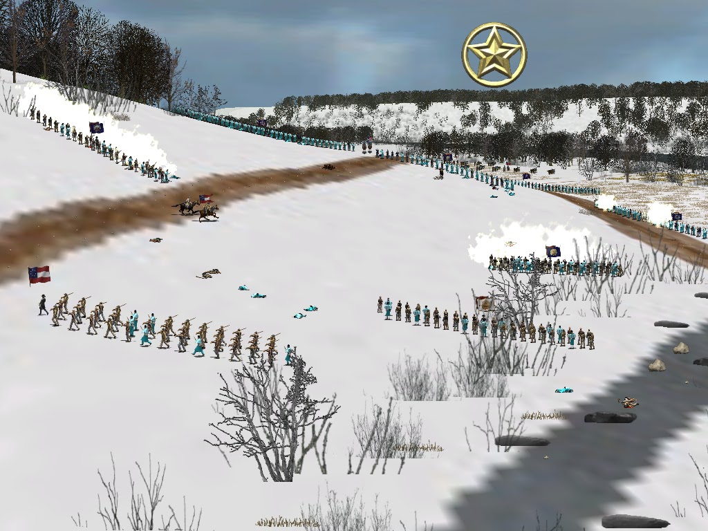
The following screenshots are from a test in the area around what I labeled at the "Deetrick" house, where the road from Bethel Church meets the Moorefield Road that leads to Romney. They show Kimball's Brigade defending the junction from an attack by the Stonewall Brigade and Virginia Militia approaching from the direction of Bethel Church.


No comments:
Post a Comment