A fictional map called "Edwards" is under construction, representing the junction of the North Branch and Cacapon Turnpike and what I have called "Parkes Hollow Road." It includes Edwards Run and the northern end of Parkes Hollow.
The map is not a new map. It is a conversion of the Sylamore map from THE WAR IN ARKANSAS simulations. One of the players in the simulation was heavily engaged at Sylamore during one of the WIA simulations back in January 2015. The terrain is basically the same for this fictional map, but there are enough changes that it will not be very recognizable as Sylamore. I have shifted the river a little, eliminated one of the streams and made some other minor changes to the topography. The town of Sylamore will also be gone, replaced by "Edwards Manor" and a plantation.
Historically, Joseph Edwards did have a plantation along Edwards Run at the end of the 18th Century. This map uses that idea, but in know way represents the actual site or appearance of the plantation.
I am working on getting the creek and river set up and hope to have the map done sometime in the middle of this week.

Sunday, April 30, 2017
Saturday, April 29, 2017


Friday, April 28, 2017
Parkes Hollow Under Construction
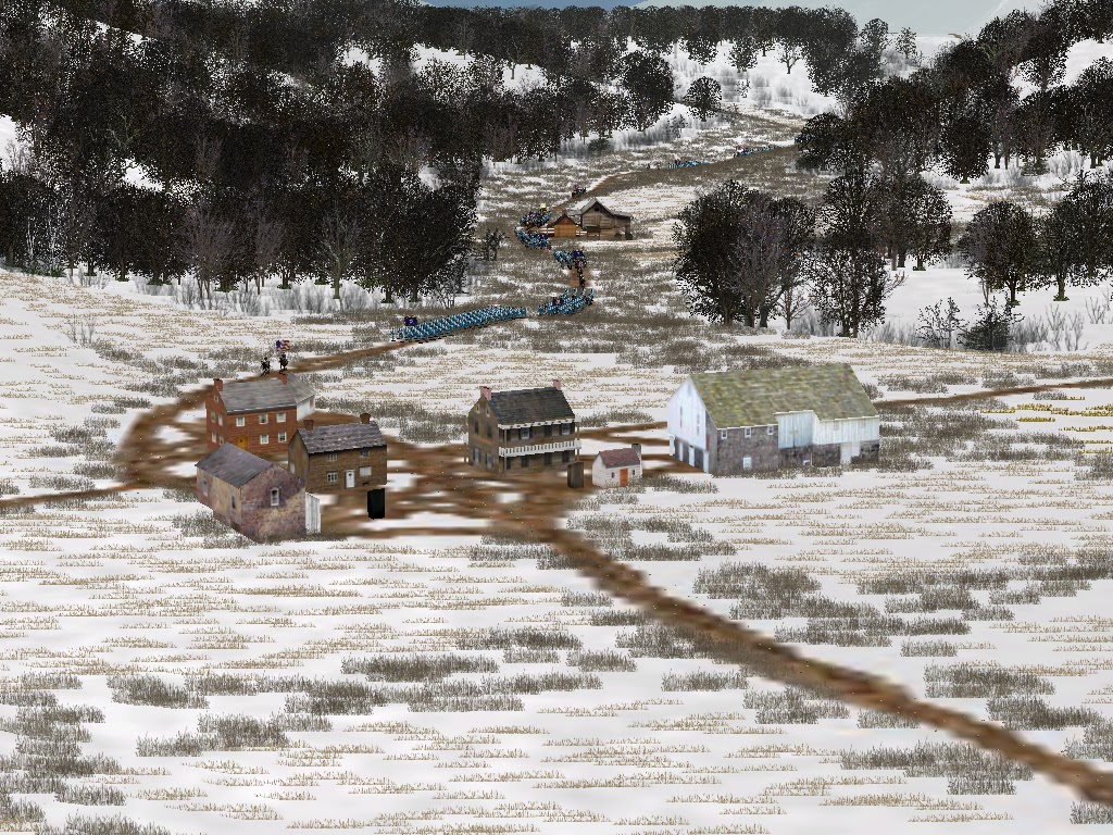
I have started work on the Parkes Hollow map. It is a fictional map representing a valley between northeast of Blues Gap and northeast of Cacapon Bridge. It uses another map as its base, so it is not the actual topography for the area. The road going through Parkes Hollow connects the Northwest Turnpike to the Cacapon and North Branch Turnpike.
I am using a different method of putting this map together. Because I am using a proxy map for the base, I don't start with the long process of drawing topographic lines and then building up the topography from a USGS map. What I am doing differently, even from other maps built from previous maps, is starting with the terrain map (which paints the creeks and rivers that appear on the map), placing the objects (houses and buildings) and making some minor changes to height levels. Then I will finish up with the tga map, that identifies the types of trees, grasses, rocks, etc. that will appear and where.
So my current version, coded in colors, looks like this:
 The large, bright blue patches will be stubble, like wheat stubble. The large green patches will be corn stubble. The yellow, red and blue line working from north to south will be a creek with a brushy creek bed and banks. The roads are visible and you can get an idea of where they homesteads are located. The woods have not been added yet, and I will probably only add them when I get to the tga map (BOW_Parkes_Hollow.tga) stage.
By this weekend, the final map should look pretty much like the rest of the maps in the series.
I doubt that the map will get much (if any) action in the coming simulation, but I may run a DYOD (design your own division) type simulation using the campaign theatre at a later date and Parkes Hollow could be more prominent in that sim.
I am using a different method of putting this map together. Because I am using a proxy map for the base, I don't start with the long process of drawing topographic lines and then building up the topography from a USGS map. What I am doing differently, even from other maps built from previous maps, is starting with the terrain map (which paints the creeks and rivers that appear on the map), placing the objects (houses and buildings) and making some minor changes to height levels. Then I will finish up with the tga map, that identifies the types of trees, grasses, rocks, etc. that will appear and where.
So my current version, coded in colors, looks like this:

By this weekend, the final map should look pretty much like the rest of the maps in the series.
I doubt that the map will get much (if any) action in the coming simulation, but I may run a DYOD (design your own division) type simulation using the campaign theatre at a later date and Parkes Hollow could be more prominent in that sim.
Wednesday, April 26, 2017
Barkersville Uploaded
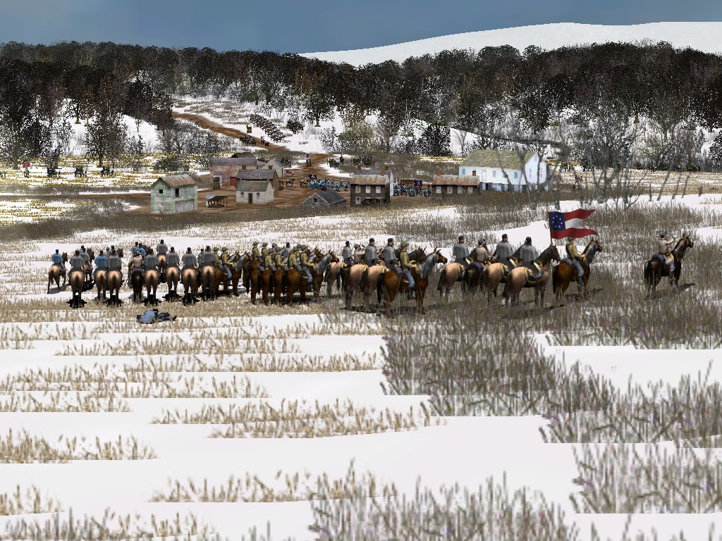
Barkersville is a fictional map that is not likely to see much action in this simulation. It is located well to the south of Burlington. It is a pretty nice looking map though. Welton, the locality to the immediate north of Barkersville, was called Meadow Run in TWWI (same map).


Monday, April 24, 2017
Taylor Uploaded
Taylor is a fictional map representing a junction with roads leading to Neffs, Purgittsville, and Barkersville. In TWWI, the Federals spend a lot of time at Mechanicsburg Gap. If the Federals are unable to control Glebe Ford, Purgittsville and Taylor become the gateways to Mechanicsburg Gap and Neffs, and potentially disrupting Federal attempts to take Romney with a supply line back to New Creek.
The map itself is nothing too exciting. Taylor is just a couple of houses at the junction and not even a town or village. It is built off of the Spring Gap map.


The map itself is nothing too exciting. Taylor is just a couple of houses at the junction and not even a town or village. It is built off of the Spring Gap map.

Purgittsville Uploaded
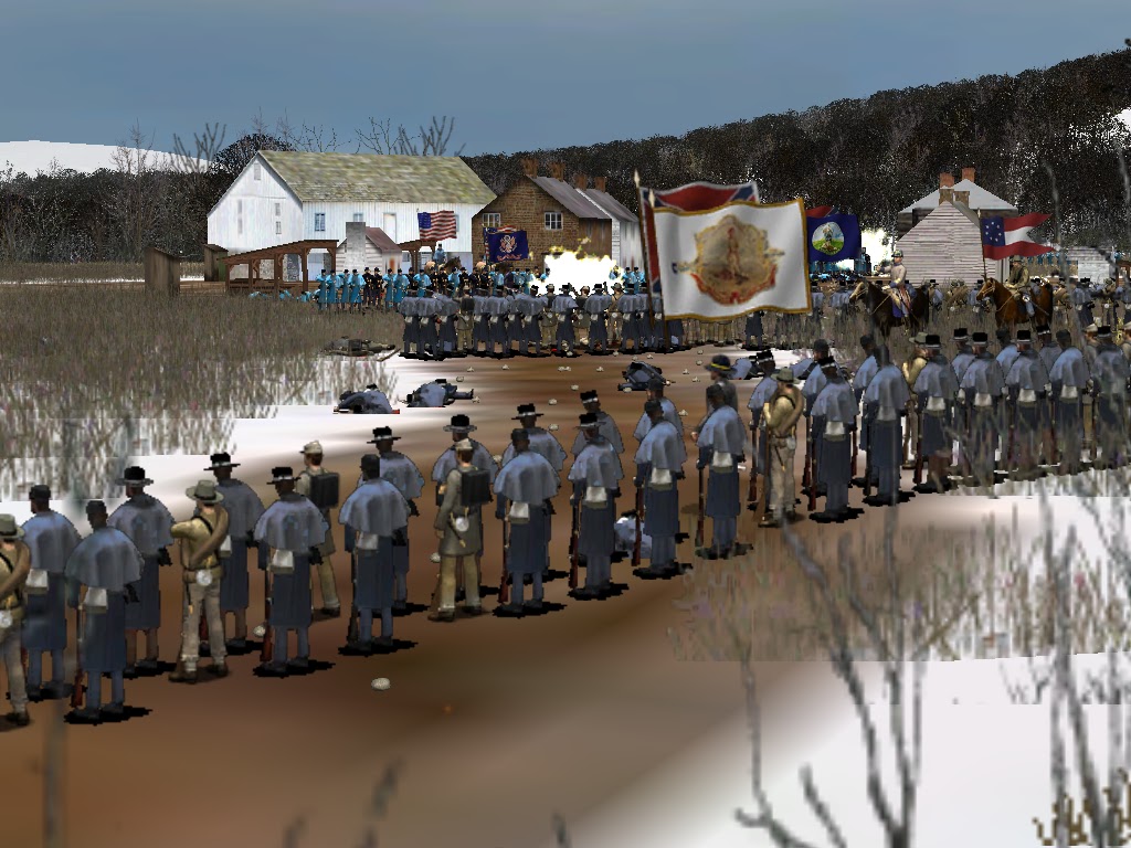
The map for Purgittsville has been uploaded. I had fun playing an open play game on AI. There was action in and around the town of Purgittsville and the cabin of P. Vincent.


Southwest Sector
The North Branch Viaduct, despite a conversion from a previous map, took longer than expected to complete. I have made a lot of progress on Purgittsville (mis-spelling maintained in the TWWII maps). In order to launch the simulation in June, the final maps are going to be fictional maps, using the topography from other maps. My target by May 1st is to complete: Purgittsville, Taylor, Barkersville.
Saturday, April 22, 2017
North Branch Viaduct uploaded
The map for North Branch Viaduct has been uploaded onto the TC2M mods page. If the Confederates are able to destroy this bridge, they will earn points and disrupt Federal attempts to extend the railroad to Paw Paw Tunnel. The bridge can be accessed via Patterson Creek Depot or via the Potomac Turnpike.


Wednesday, April 19, 2017
Map Test...
A big thanks to Greg for testing a bunch of the TWWII maps. I think I have fixed some pathing and minimap errors.
North Bridge Viaduct is under construction. It will not be a very high quality map, but it should get the job done for the sim. We are already half way through April, so I am going to move quickly through the remaining maps, using proxy maps to create most of them and probably skimping on the detail a bit.
North Bridge Viaduct is under construction. It will not be a very high quality map, but it should get the job done for the sim. We are already half way through April, so I am going to move quickly through the remaining maps, using proxy maps to create most of them and probably skimping on the detail a bit.
Sunday, April 16, 2017
Paw Paw Tunnel TC2M Map uploaded
The Paw Paw Tunnel map has been uploaded onto the mods page. Paw Paw Tunnel is actually the canal tunnel. Because the railroad ran into the hills at the edge of the map, I made railroad tunnels, but these are anachronistic.


Subscribe to:
Posts (Atom)