
I am done 5 out of 18 farms that will dot the countryside around Bath, although there are always a few details to add. I hope to have the minimap out to the players by tomorrow night and the TC2M map ready by Thursday night. There is still a bit to do, but I may return to finish off details later if there is ever a Second Battle of Bath.
 |
| When putting in the objects in landscape studio, it is all about coordinates. You can't actually see where the roads and terrains features are located. |
 |
| This farm is at the junction of an un-named road and Bloomery Gap Road, just south of where the Unger's Store Road meets Bloomery Gap Road (visible) beyond the farm. The screenshot is looking north towards town. |
 |
| It is still a bit rough, but town will look something like this. The hotel is obviously the major architectural feature. |
 |
| This farm (so far un-named) is at the junction of the Sir Johns Road. The road visible is going northward to Sir Johns Run Depot and the B & O. The pine trees to the right are on the ridge immediately west of town. |
 |
| This farm is on the small north south road / path that runs behind the south end of Warm Springs Ridge. This is looking north, toward the farm at the Sir Johns Run Road junction. |
 |
| This farm is on the Bloomery Gap Road. |
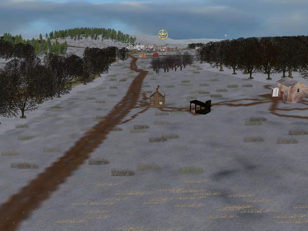 |
| This is looking north up Bloomery Gap Road towards Bath Town. |
No comments:
Post a Comment