
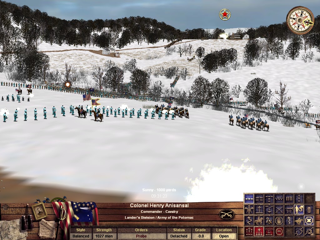
Because the creeks and North Fork of the Little Cacapon are drawn on instead of "dug" into the water below the surface of the map, Bethel Church came together pretty quickly this weekend. I ran a fun test of it, with Confederates easily overrunning Federal cavalry and two batteries south of T. Albin, and then returning to fight it out at A. Golloday, with much of the early action taking place in the woods along the Gap Road to the east. One screenshot shows Kimball's Brigade at Bethel Church early in the test. The topography on this map is interesting, with a lot of undulation.


No comments:
Post a Comment