The TC2M Burretsville map has been uploaded on the mods page. It is an original map using a USGS topographic map for the area, now called Augusta, WV. Unlike most of the other maps in the campaign theatre, this map is free of rivers and mountains and has a lot of open space for artillery.
Burretsville links several maps. It lies between the Frenchburg and Pleasant Dale on the Northwest Turnpike and also joins the Bethel Church and Tear Coat Tavern maps to the southeast and southwest.
 |
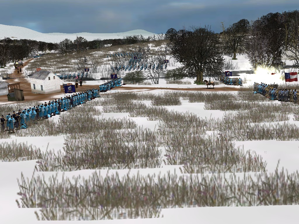
| Confederates move east on the Northwest Turnpike, passing J. Danner. Burretsville in the background. |
 |
| Engagement at D. Reed |


No comments:
Post a Comment